Data are everywhere
No need to download


Planetary surface research is still essentially based on visual assessment. Geological mapping and feature classification evolve to more automated quantitative analysis, but cannot avoid yet individual expert insight.
The amount of available data is rapidly increasing in planetary investigations, and research teams are spread all over the world. Dataset download is time consuming and local analysis results in inefficient finding sharing.

Images are one of the main objects of observational and experimental study in Planetary Sciences. Images are also a source of amazement for the general public, a formidable medium for transmitting knowledge and conveying the thrill of discovery. The World Wide Web is now a major channel of dissemination for science images. It is also the place where scientists seek information, publish their findings and confront ideas. Internet browsers have become portable, generic clients that are used not only to display remote information, but also to manipulate and modify it.

Geographical Information Systems are powerful tools for Planetary Surface analysis. They excel in interoperability, but are historically anchored to Earth's description. Using the Cesium javascript library for remote visualization, we develop a tool for an on-line efficient and generic planetary surface analysis à la GIS
Let us know if you are a GIS data provider and you would like to see your data visualized on our interface. We just need your GetCapabilities link.
Our code is available on github, there is still a lot of work to do. Fork us!
Cloud@VD - LAL, Paris Sud University, Orsay
Trent Hare - Astrogeology Center USGS, Flagstaff
NASA/JPL-Caltech/Space Science Institute
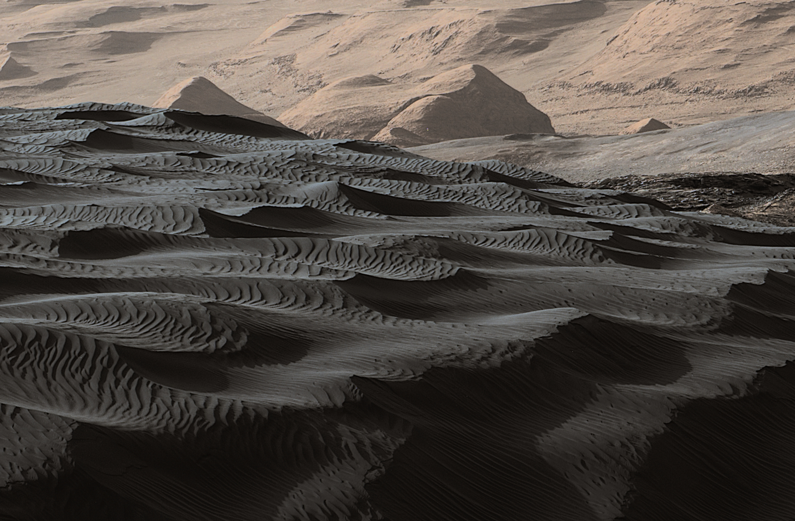
NASA/JPL-Caltech/MSSS
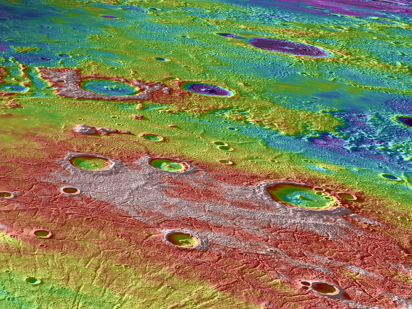
NASA/Johns Hopkins University Applied Physics Laboratory/Carnegie Institution of Washington
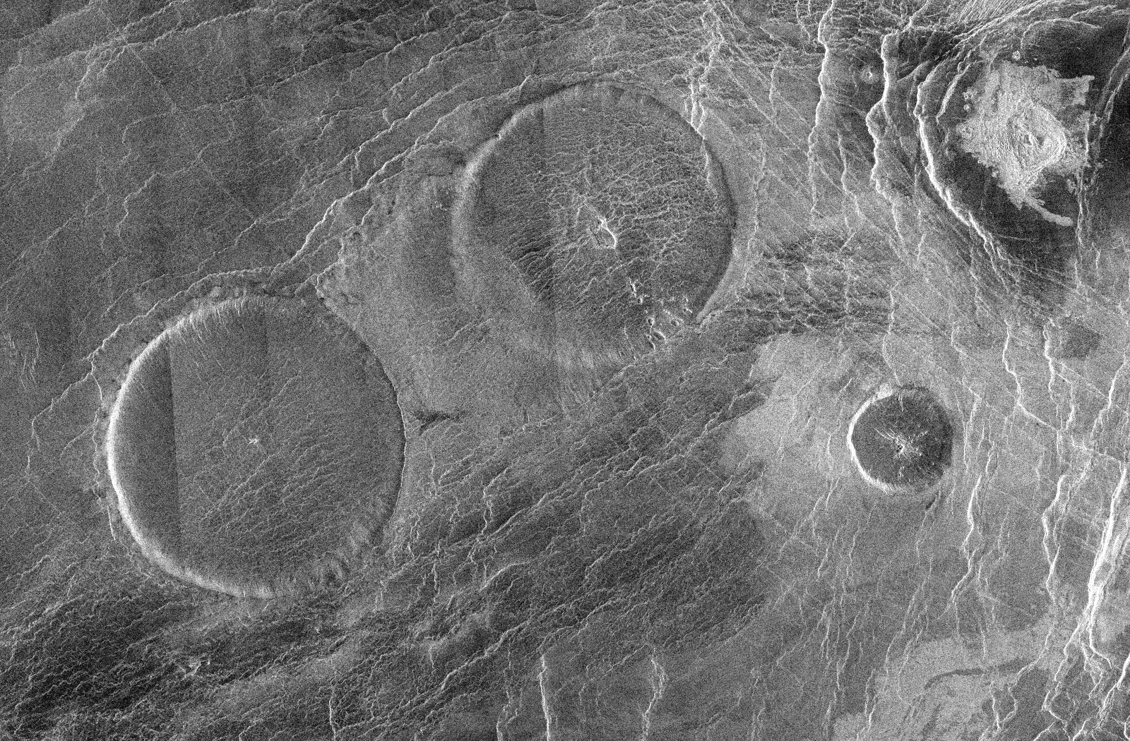
NASA/JPL